What Is a Hydrocensus? Meaning, Purpose and When You Need One
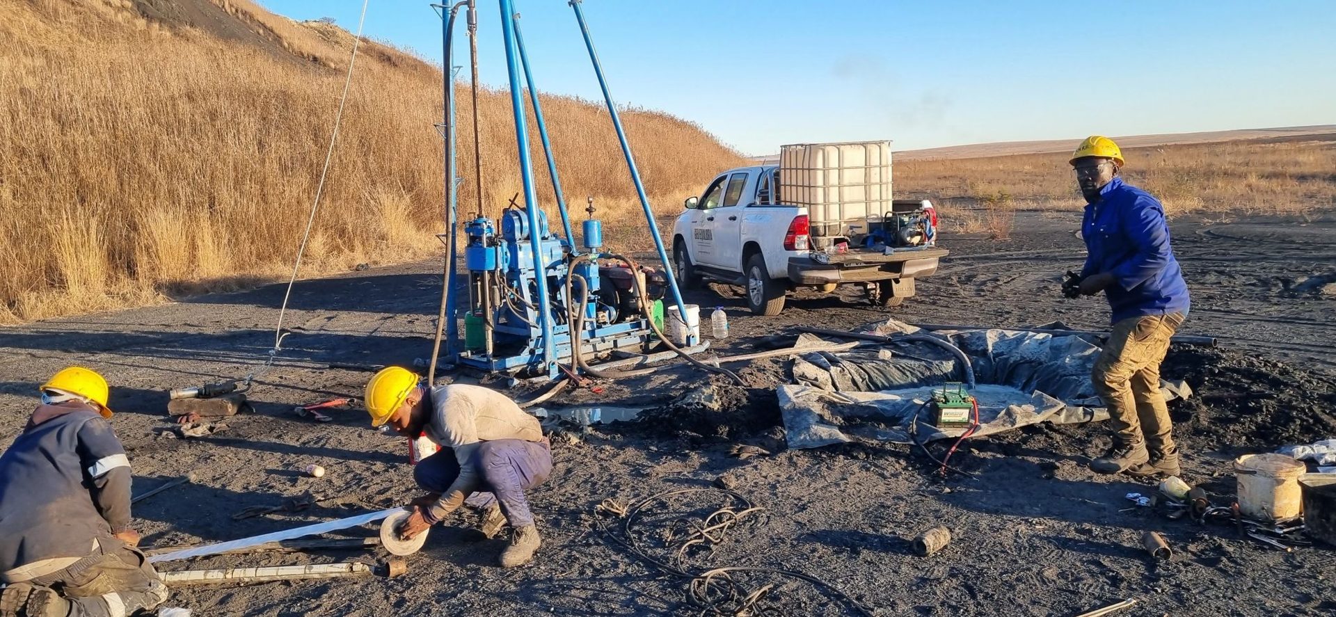
A hydrocensus is a field survey of the existing groundwater and surface water users around a site. In simple terms, it is a census of water points: every borehole, well, spring and dam within a set distance of your project is visited, recorded and, where possible, measured and sampled.
It is one of the first steps in most geohydrological studies in South Africa, and regulators expect to see it in many applications.
What a hydrocensus records
At each water point, the hydrogeologist typically records:
- The exact position, using GPS.
- The owner or user, and what the water is used for: household, livestock, irrigation, industry or a community supply.
- The type of water point: borehole, hand-dug well, spring or dam.
- The water level and, where possible, the depth of the borehole.
- The pump type and an estimate of how much water is taken.
- The water quality, through field measurements and samples sent to a laboratory.
- Any complaints or concerns the users raise, such as falling water levels or poor water quality.
When do you need a hydrocensus?
A hydrocensus is normally part of the work for:
- Water use licence applications (WULA) for taking groundwater from boreholes.
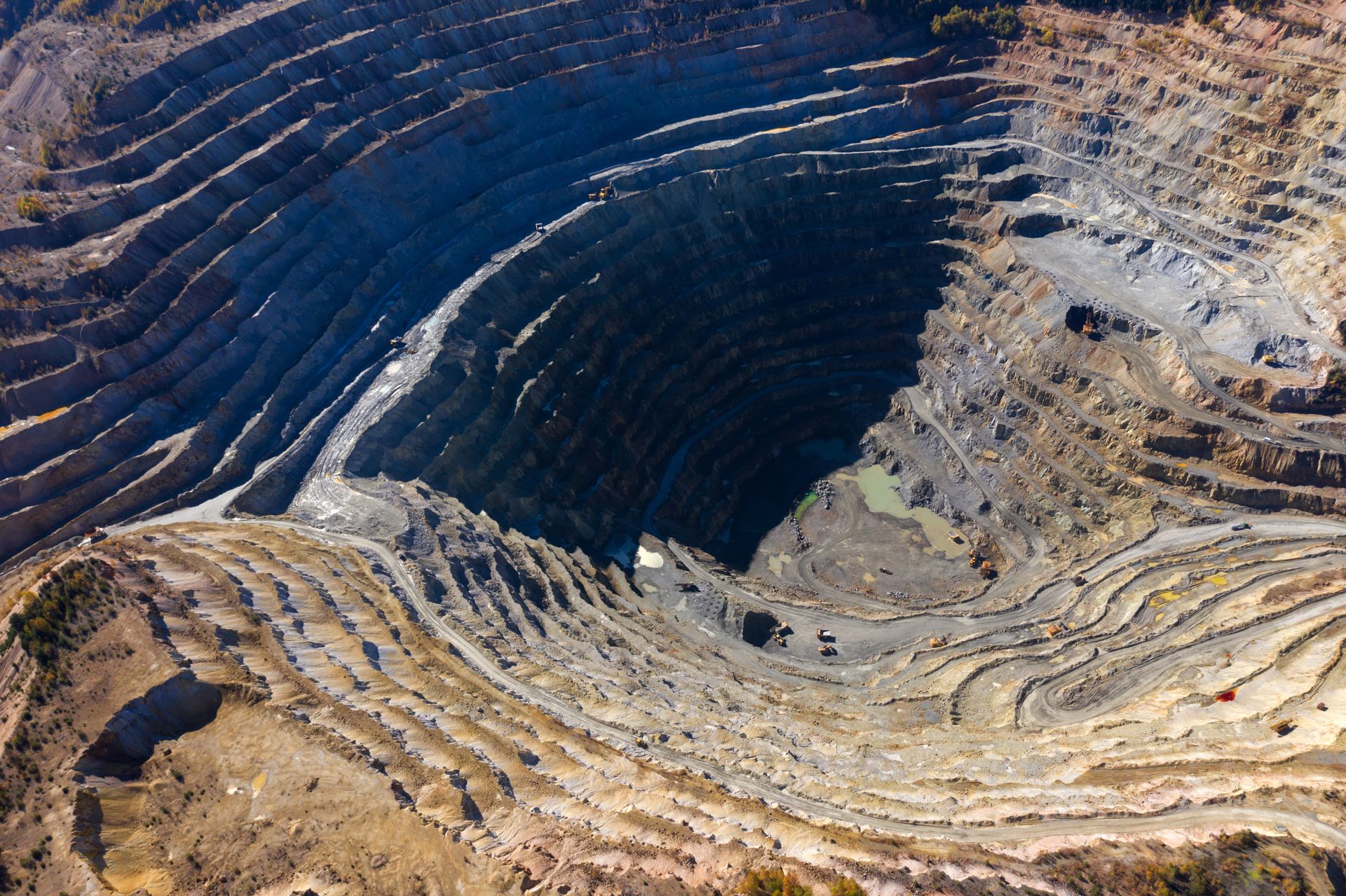
- Mining right and environmental authorisation applications, where mining or dewatering could affect nearby boreholes.
- Township establishment and new housing developments that will rely on groundwater.
- Cemeteries, waste sites, filling stations and other activities that could pollute groundwater.
- Borehole siting for farms, lodges and communities, to avoid drilling too close to neighbours.
Why it matters
A hydrocensus gives you a baseline: a picture of the groundwater situation before your project starts. That protects both you and your neighbours. If a farmer later says your borehole or mine dried up their well, the hydrocensus shows what the water level and quality were before you started. It also tells the regulator that you have considered the people who already depend on that water, which helps your application move forward.
The information also feeds directly into the rest of the geohydrological study: aquifer tests, the groundwater model and the monitoring plan all build on it.
How long does it take?
For a typical site, the field work for a hydrocensus takes one to a few days, depending on how many water points there are and how far apart they are. Larger study areas around mines can take longer. Laboratory results usually follow within a couple of weeks.
You cannot judge your impact on groundwater without first knowing who already depends on it.
Need a hydrocensus or geohydrological study?
Geo Equilibria's SACNASP-registered hydrological scientists carry out hydrocensus surveys, borehole siting, aquifer testing and full geohydrological studies across South Africa. Call 073 908 5240 or WhatsApp us to discuss your project.
Need help with your project?
Speak to our SACNASP-registered scientists about site investigation anywhere in South Africa.