All of SA + neighbouring countries
- We Work Nationwide
- Email Us
- Call Us
All of SA + neighbouring countries
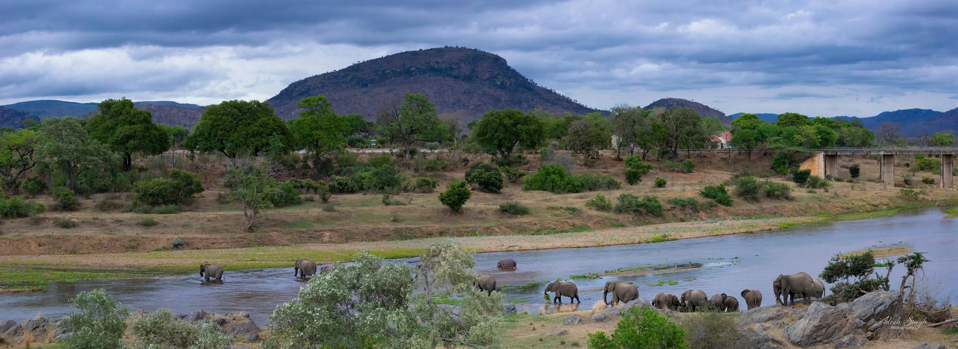
Water can make or break a project. We assess rivers, drainage lines and runoff, determine flood lines, design storm water management plans and prepare the technical reports your water use licence application needs.
Surface water studies, flood line delineation, storm water management plans and water use licence applications for developments and mines.

Surface Water Studies
Flood Line Delineation
Storm Water Management Plans
Water Use Licence Applications
We assess catchments, drainage lines, water quality and the impact of your project on nearby rivers and wetlands.
We determine the 1:50 and 1:100 year flood lines so you know which parts of your site are safe to develop.
We design practical storm water management plans that control runoff, protect infrastructure and keep your site compliant.
We compile the geohydrological and surface water reports needed for your application to the Department of Water and Sanitation.
We learn about your site, goals and deadlines.
Our team collects field data and samples.
We interpret results against the relevant standards.
You get clear findings and recommendations.

Or call 073 908 5240