Subsurface Exploration Methods: How We Investigate What Lies Below Your Site
Subsurface exploration is the field work that tells us what lies below a site: the soil layers, the depth to rock, the groundwater, and any problem ground such as expansive clay, collapsible sand or dolomite. The method chosen depends on the project, the ground and the budget. Most investigations combine several of the methods below.
Test pits
Test pits are dug with a TLB or excavator, usually to about 2 to 4 metres. They let the engineering geologist see and describe each soil layer in place, take bulk samples for the laboratory and note seepage. Test pits are fast and cost-effective, and are the backbone of most residential and township investigations.
DPL and DCP probing
Dynamic probe light (DPL) and dynamic cone penetrometer (DCP) tests drive a steel cone into the ground with a falling weight. The number of blows per depth shows how firm or loose the soil is. Probing is quick and cheap, and is used between test pits to check founding depths and soil consistency across a site.
Percussion drilling
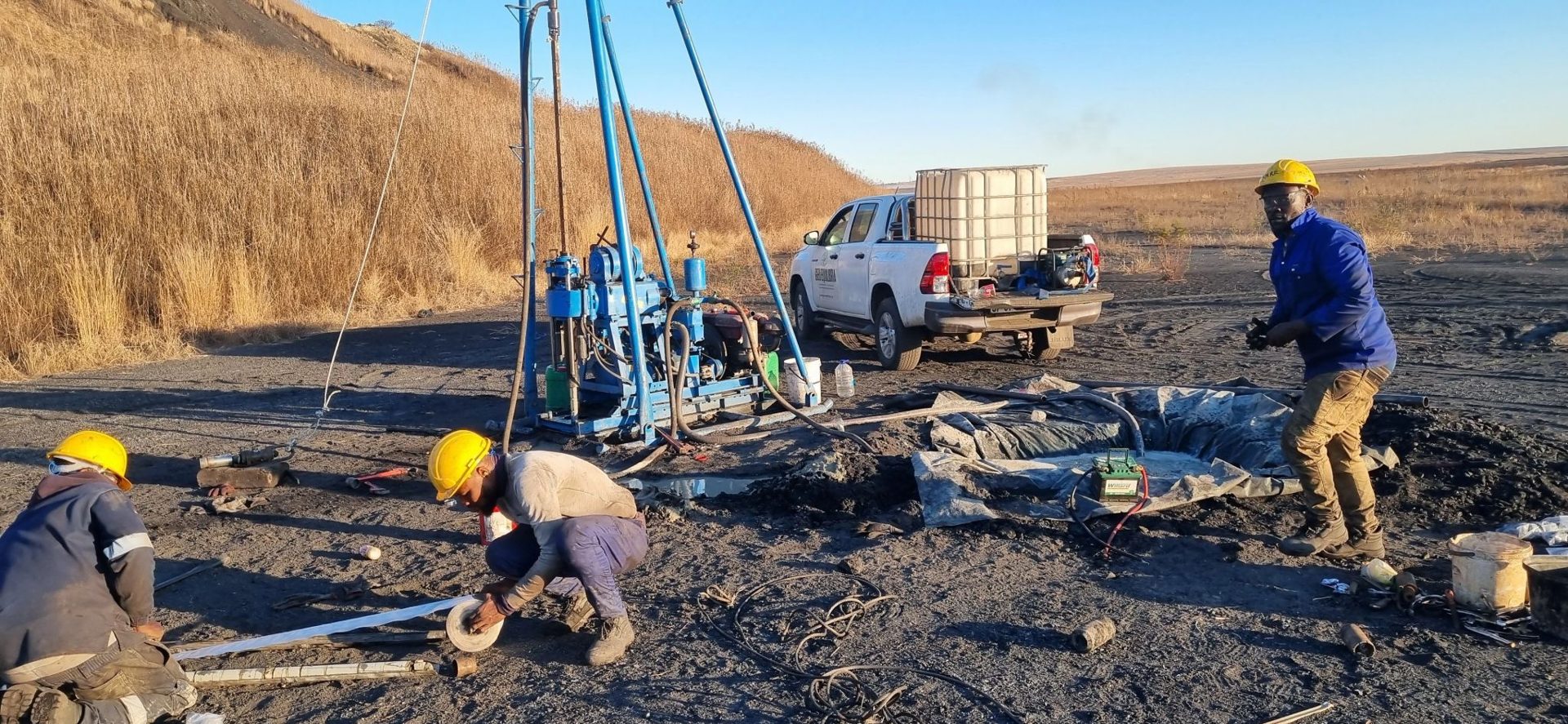
Percussion (air) drilling advances quickly through soil and rock and is useful to find the depth to bedrock, to detect cavities on dolomite land and to drill boreholes for groundwater work. It gives chips rather than intact samples, so it shows broad conditions rather than detailed rock strength.
Rotary core drilling and SPT testing
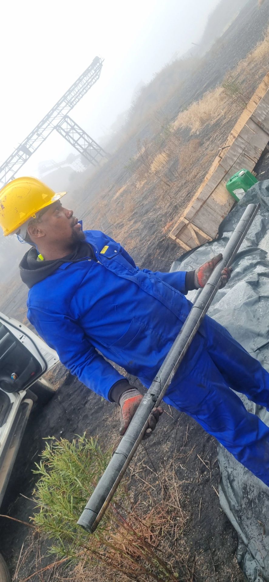
Rotary core drilling recovers continuous, intact cores of soil and rock. These are logged in detail and tested, which is essential for heavy structures, bridges, dams, tailings facilities and mine infrastructure. Standard penetration tests (SPT) are often done inside the borehole to measure soil strength at depth.
Geophysical surveys
Geophysics measures properties of the ground from the surface, without digging. Methods such as electrical resistivity, magnetics, gravity and seismic refraction help map rock depth, fractures, groundwater zones and possible cavities over large areas. Geophysics is used to plan where to drill, and is a standard part of dolomite stability and borehole siting work.
Laboratory testing
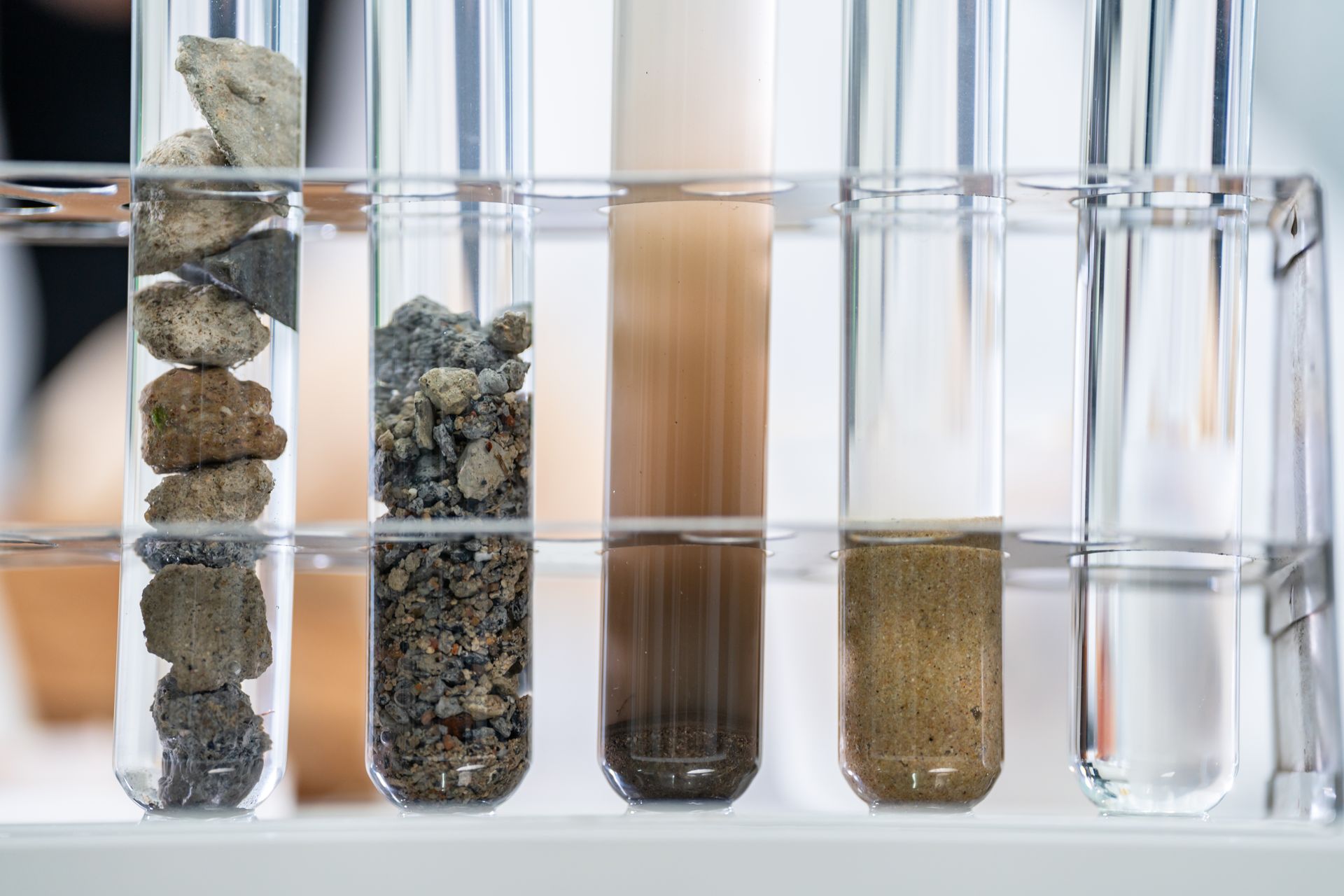
Samples from the field go to a soils laboratory. Common tests include foundation indicators (grading and plasticity), moisture content, compaction (MOD AASHTO) and CBR for roads and paving, and strength tests on rock cores. The results turn field descriptions into numbers that engineers can design with.
How we choose the right mix
- A single house on normal ground: test pits, probing and basic laboratory tests.
- A township: a grid of test pits across the site, with probing and laboratory testing to SANS 634.
- Dolomite land: gravity surveys followed by percussion drilling.
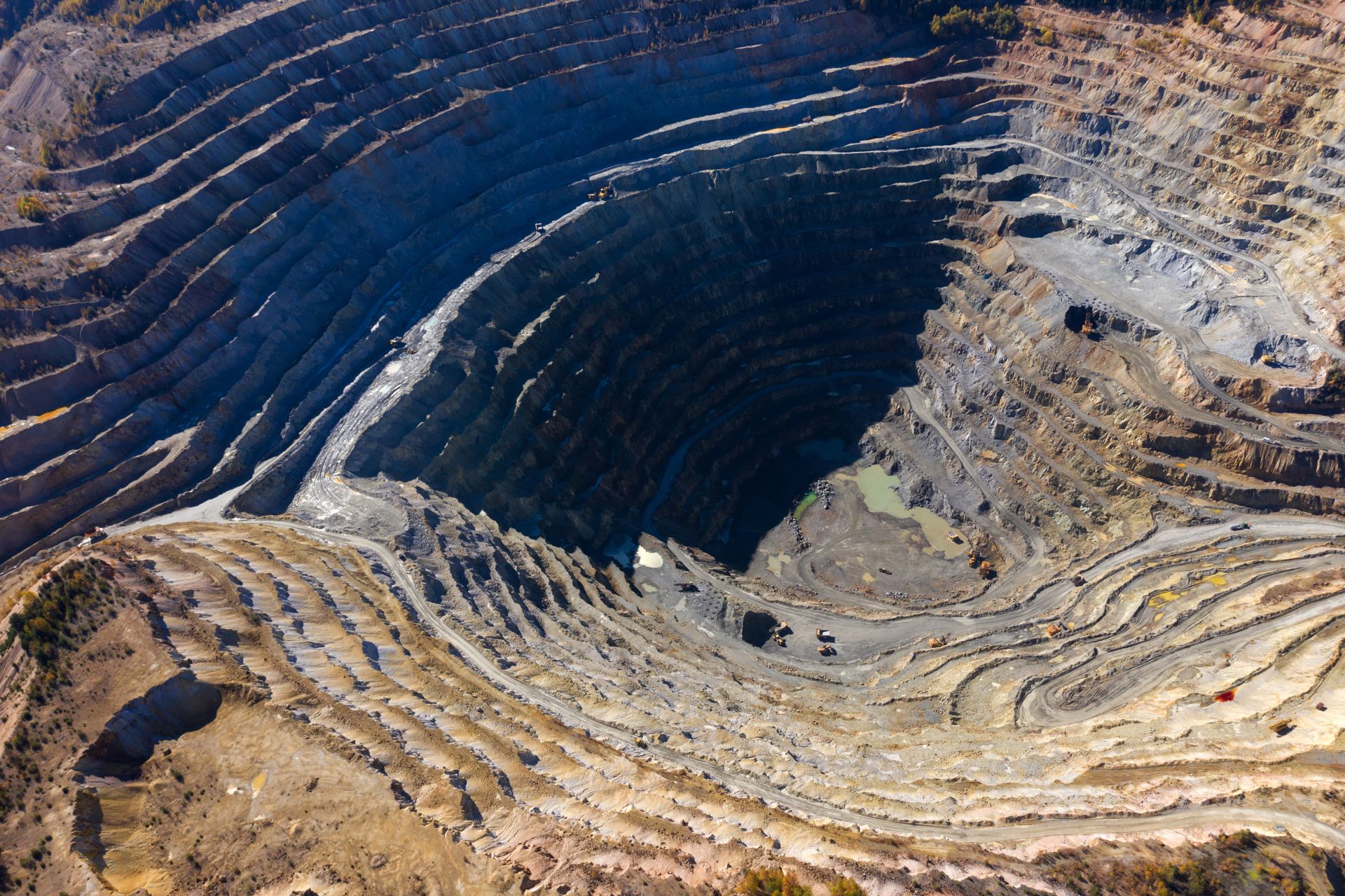
- Heavy structures, dams and mines: core drilling, SPT testing and detailed laboratory work.
The right exploration plan gives you reliable answers without paying for work the site does not need.
Talk to us about your site
Geo Equilibria plans and carries out subsurface exploration for developers, engineers, municipalities and mines anywhere in South Africa. Call 073 908 5240 or WhatsApp us and we will recommend the right investigation for your project.
Need help with your project?
Speak to our SACNASP-registered scientists about subsurface exploration anywhere in South Africa.